
Thank you for supporting this site ❤️
Make a donation
Make a donation
Allagadda topographic map
Click on the map to display elevation.
Thank you for supporting this site ❤️
Make a donation
Make a donation
About this map
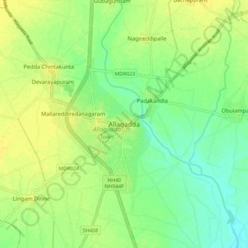
Name: Allagadda topographic map, elevation, terrain.
Location: Allagadda, Nandyal, Andhra Pradesh, 518543, India (15.09335 78.47254 15.17335 78.55254)
Average elevation: 176 m
Minimum elevation: 165 m
Maximum elevation: 185 m
Thank you for supporting this site ❤️
Make a donation
Make a donation