
杨浦区 topographic map
Interactive map
Click on the map to display elevation.
About this map
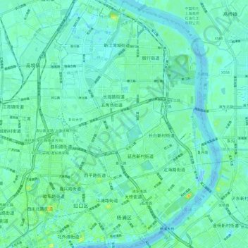
Name: 杨浦区 topographic map, elevation, terrain.
Location: 杨浦区, 上海市, 中国 (31.24908 121.48089 31.34910 121.56496)
Average elevation: 6 m
Minimum elevation: -11 m
Maximum elevation: 28 m
Other topographic maps
Click on a map to view its topography, its elevation and its terrain.