
Thank you for supporting this site ❤️
Make a donation
Make a donation
Obergesteln topographic map
Click on the map to display elevation.
Thank you for supporting this site ❤️
Make a donation
Make a donation
About this map
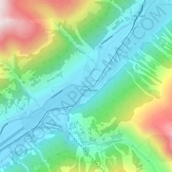
Name: Obergesteln topographic map, elevation, terrain.
Location: Obergesteln, Obergoms, Goms, Wallis, 3988, Switzerland (46.49378 8.30487 46.53378 8.34487)
Average elevation: 1,664 m
Minimum elevation: 1,339 m
Maximum elevation: 2,448 m
Thank you for supporting this site ❤️
Make a donation
Make a donation
Other topographic maps
Click on a map to view its topography, its elevation and its terrain.