
Lakewood Park topographic map
Interactive map
Click on the map to display elevation.
About this map
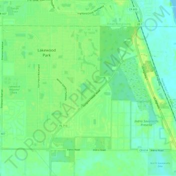
Name: Lakewood Park topographic map, elevation, terrain.
Location: Lakewood Park, Saint Lucie County, Florida, United States (27.52063 -80.41469 27.55778 -80.35580)
Average elevation: 8 m
Minimum elevation: 0 m
Maximum elevation: 15 m