
Thank you for supporting this site ❤️
Make a donation
Make a donation
Eroghor topographic map
Click on the map to display elevation.
Thank you for supporting this site ❤️
Make a donation
Make a donation
About this map
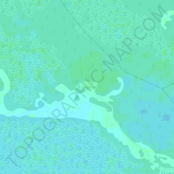
Name: Eroghor topographic map, elevation, terrain.
Location: Eroghor, Warri South, Delta State, Nigeria (5.68487 5.61133 5.72487 5.65133)
Average elevation: 2 m
Minimum elevation: 0 m
Maximum elevation: 5 m
Thank you for supporting this site ❤️
Make a donation
Make a donation
Other topographic maps
Click on a map to view its topography, its elevation and its terrain.
Thank you for supporting this site ❤️
Make a donation
Make a donation
Thank you for supporting this site ❤️
Make a donation
Make a donation