
Bourg-Léopold topographic map
Interactive map
Click on the map to display elevation.
About this map
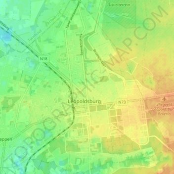
Name: Bourg-Léopold topographic map, elevation, terrain.
Location: Bourg-Léopold, Hasselt, Limbourg, Flandre, 3970, Belgique (51.09922 5.23625 51.14715 5.30087)
Average elevation: 48 m
Minimum elevation: 31 m
Maximum elevation: 64 m