
Santa Teresita topographic map
Interactive map
Click on the map to display elevation.
About this map
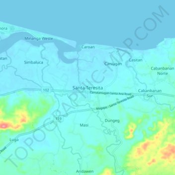
Name: Santa Teresita topographic map, elevation, terrain.
Location: Santa Teresita, Cagayán, Valle del Cagayán, 3512, Filipinas (18.20961 121.86928 18.28961 121.94928)
Average elevation: 12 m
Minimum elevation: -4 m
Maximum elevation: 116 m
Other topographic maps
Click on a map to view its topography, its elevation and its terrain.