
Thank you for supporting this site ❤️
Make a donation
Make a donation
Al Wadi topographic map
Click on the map to display elevation.
Thank you for supporting this site ❤️
Make a donation
Make a donation
About this map
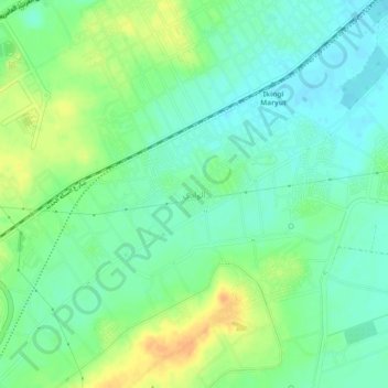
Name: Al Wadi topographic map, elevation, terrain.
Location: Al Wadi, Alexandria, 23713, Egypt (30.96667 29.73500 31.00667 29.77500)
Average elevation: 25 m
Minimum elevation: 12 m
Maximum elevation: 46 m
Thank you for supporting this site ❤️
Make a donation
Make a donation
Other topographic maps
Click on a map to view its topography, its elevation and its terrain.