
Thank you for supporting this site ❤️
Make a donation
Make a donation
633 topographic map
Click on the map to display elevation.
Thank you for supporting this site ❤️
Make a donation
Make a donation
About this map
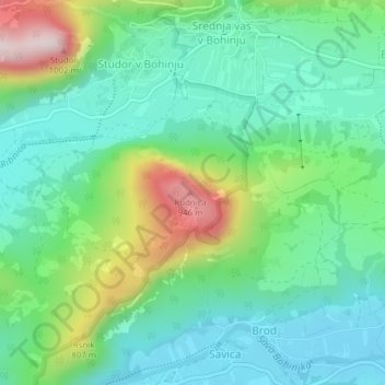
Name: 633 topographic map, elevation, terrain.
Location: 633, Studor v Bohinju, Bohinj, 4267, Slovenia (46.28552 13.92056 46.28562 13.92066)
Average elevation: 640 m
Minimum elevation: 503 m
Maximum elevation: 983 m
Thank you for supporting this site ❤️
Make a donation
Make a donation