
Mandrogne topographic map
Click on the map to display elevation.
About this map
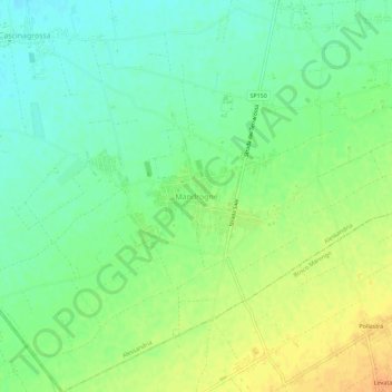
Name: Mandrogne topographic map, elevation, terrain.
Location: Mandrogne, Alessandria, Piedmont, 15062, Italy (44.84289 8.72732 44.88289 8.76732)
Average elevation: 120 m
Minimum elevation: 106 m
Maximum elevation: 138 m