
Thank you for supporting this site ❤️
Make a donation
Make a donation
Alto Yurinaki topographic map
Click on the map to display elevation.
Thank you for supporting this site ❤️
Make a donation
Make a donation
About this map
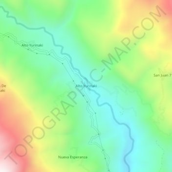
Name: Alto Yurinaki topographic map, elevation, terrain.
Location: Alto Yurinaki, Perené, Chanchamayo, Junín, Perú (-10.79127 -75.17102 -10.75127 -75.13102)
Average elevation: 1,147 m
Minimum elevation: 803 m
Maximum elevation: 1,766 m
Thank you for supporting this site ❤️
Make a donation
Make a donation