
Thank you for supporting this site ❤️
Make a donation
Make a donation
Ban Mae Pok topographic map
Click on the map to display elevation.
Thank you for supporting this site ❤️
Make a donation
Make a donation
About this map
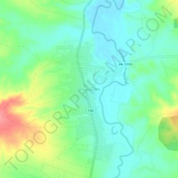
Name: Ban Mae Pok topographic map, elevation, terrain.
Location: Ban Mae Pok, Si Wichai, Li, Lamphun Province, Thailand (18.01933 98.86359 18.05933 98.90359)
Average elevation: 419 m
Minimum elevation: 391 m
Maximum elevation: 482 m
Thank you for supporting this site ❤️
Make a donation
Make a donation