
Thank you for supporting this site ❤️
Make a donation
Make a donation
Arjeplogs kommun topographic map
Click on the map to display elevation.
Thank you for supporting this site ❤️
Make a donation
Make a donation
About this map
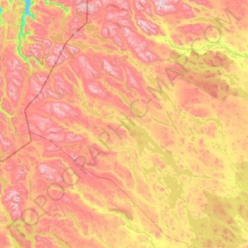
Name: Arjeplogs kommun topographic map, elevation, terrain.
Location: Arjeplogs kommun, Norrbotten County, Sweden (65.57438 15.37723 67.19042 19.03235)
Average elevation: 680 m
Minimum elevation: 0 m
Maximum elevation: 1,920 m
Thank you for supporting this site ❤️
Make a donation
Make a donation
Other topographic maps
Click on a map to view its topography, its elevation and its terrain.