
Thank you for supporting this site ❤️
Make a donation
Make a donation
Kampung Pasir Akar topographic map
Click on the map to display elevation.
Thank you for supporting this site ❤️
Make a donation
Make a donation
About this map
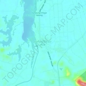
Name: Kampung Pasir Akar topographic map, elevation, terrain.
Location: Kampung Pasir Akar, Besut, Terengganu, 22000, Malaysia (5.62144 102.48093 5.66144 102.52093)
Average elevation: 20 m
Minimum elevation: 7 m
Maximum elevation: 123 m
Thank you for supporting this site ❤️
Make a donation
Make a donation
Other topographic maps
Click on a map to view its topography, its elevation and its terrain.