
Thank you for supporting this site ❤️
Make a donation
Make a donation
Kaigama topographic map
Click on the map to display elevation.
Thank you for supporting this site ❤️
Make a donation
Make a donation
About this map
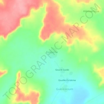
Name: Kaigama topographic map, elevation, terrain.
Location: Kaigama, Gouré, Zinder, Niger (14.33165 10.25373 14.37165 10.29373)
Average elevation: 479 m
Minimum elevation: 432 m
Maximum elevation: 540 m
Thank you for supporting this site ❤️
Make a donation
Make a donation