
Thank you for supporting this site ❤️
Make a donation
Make a donation
Manchester topographic map
Click on the map to display elevation.
Thank you for supporting this site ❤️
Make a donation
Make a donation
About this map
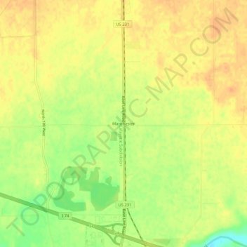
Name: Manchester topographic map, elevation, terrain.
Location: Manchester, Montgomery County, Indiana, United States (40.07782 -86.92417 40.11782 -86.88417)
Average elevation: 233 m
Minimum elevation: 210 m
Maximum elevation: 244 m
Thank you for supporting this site ❤️
Make a donation
Make a donation
Other topographic maps
Click on a map to view its topography, its elevation and its terrain.
Thank you for supporting this site ❤️
Make a donation
Make a donation
Thank you for supporting this site ❤️
Make a donation
Make a donation