
Thank you for supporting this site ❤️
Make a donation
Make a donation
Carpa topographic map
Click on the map to display elevation.
Thank you for supporting this site ❤️
Make a donation
Make a donation
About this map
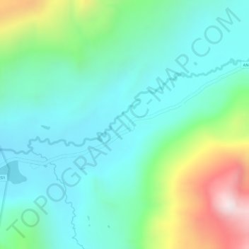
Name: Carpa topographic map, elevation, terrain.
Location: Carpa, Cátac, Recuay, Áncash, Perú (-9.89454 -77.30510 -9.87454 -77.28510)
Average elevation: 4,309 m
Minimum elevation: 4,141 m
Maximum elevation: 4,733 m
Thank you for supporting this site ❤️
Make a donation
Make a donation
Other topographic maps
Click on a map to view its topography, its elevation and its terrain.