
Thank you for supporting this site ❤️
Make a donation
Make a donation
Pentacre topographic map
Click on the map to display elevation.
Thank you for supporting this site ❤️
Make a donation
Make a donation
About this map
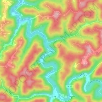
Name: Pentacre topographic map, elevation, terrain.
Location: Pentacre, Kanawha County, West Virginia, United States (38.37038 -81.42345 38.41038 -81.38345)
Average elevation: 302 m
Minimum elevation: 191 m
Maximum elevation: 405 m
Thank you for supporting this site ❤️
Make a donation
Make a donation
Other topographic maps
Click on a map to view its topography, its elevation and its terrain.