
Thank you for supporting this site ❤️
Make a donation
Make a donation
Ifoghas topographic map
Click on the map to display elevation.
Thank you for supporting this site ❤️
Make a donation
Make a donation
About this map
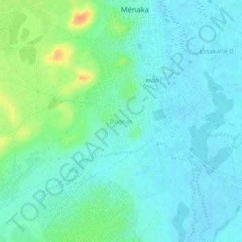
Name: Ifoghas topographic map, elevation, terrain.
Location: Ifoghas, Ménaka, Mali (15.87818 2.37767 15.91818 2.41767)
Average elevation: 280 m
Minimum elevation: 270 m
Maximum elevation: 312 m
Thank you for supporting this site ❤️
Make a donation
Make a donation