
Thank you for supporting this site ❤️
Make a donation
Make a donation
Singur topographic map
Click on the map to display elevation.
Thank you for supporting this site ❤️
Make a donation
Make a donation
Singur
Singur is located at 22°49′N 88°14′E / 22.81°N 88.23°E / 22.81; 88.23. It has an average elevation of 14 metres (45 ft), and is situated on the Ganges delta.
Thank you for supporting this site ❤️
Make a donation
Make a donation
About this map
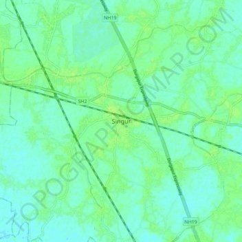
Name: Singur topographic map, elevation, terrain.
Location: Singur, Hooghly, West Bengal, 712409, India (22.77304 88.18836 22.85304 88.26836)
Average elevation: 9 m
Minimum elevation: 4 m
Maximum elevation: 14 m
Thank you for supporting this site ❤️
Make a donation
Make a donation
Other topographic maps
Click on a map to view its topography, its elevation and its terrain.