
Ban Kangwan topographic map
Interactive map
Click on the map to display elevation.
About this map
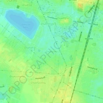
Name: Ban Kangwan topographic map, elevation, terrain.
Location: Ban Kangwan, Khon Kaen Province, 40000, Thailand (16.40081 102.79060 16.44081 102.83060)
Average elevation: 160 m
Minimum elevation: 149 m
Maximum elevation: 171 m