
Thank you for supporting this site ❤️
Make a donation
Make a donation
Imgenbroich topographic map
Click on the map to display elevation.
Thank you for supporting this site ❤️
Make a donation
Make a donation
Imgenbroich
Imgenbroich ['ɪm.ʃɛn.bʀʊx] ist ein Stadtteil von Monschau in der Städteregion Aachen und liegt direkt oberhalb Monschaus auf den Eifelhöhen.
Thank you for supporting this site ❤️
Make a donation
Make a donation
About this map
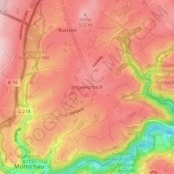
Name: Imgenbroich topographic map, elevation, terrain.
Average elevation: 514 m
Minimum elevation: 365 m
Maximum elevation: 588 m
Thank you for supporting this site ❤️
Make a donation
Make a donation