
KM. 2 topographic map
Interactive map
Click on the map to display elevation.
About this map
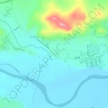
Name: KM. 2 topographic map, elevation, terrain.
Location: KM. 2, Usumatlán, Zacapa, Guatemala (14.93866 -89.79629 14.95866 -89.77629)
Average elevation: 240 m
Minimum elevation: 208 m
Maximum elevation: 349 m