
Kashija topographic map
Interactive map
Click on the map to display elevation.
About this map
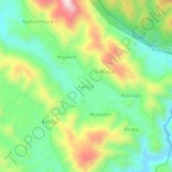
Name: Kashija topographic map, elevation, terrain.
Location: Kashija, Kisoro, Western Region, Ouganda (-1.14529 29.66184 -1.10529 29.70184)
Average elevation: 1,996 m
Minimum elevation: 1,792 m
Maximum elevation: 2,343 m