
Limekilns topographic map
Interactive map
Click on the map to display elevation.
About this map
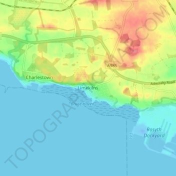
Name: Limekilns topographic map, elevation, terrain.
Location: Limekilns, Fife, Scotland, KY11 3HS, United Kingdom (56.01439 -3.50049 56.05439 -3.46049)
Average elevation: 20 m
Minimum elevation: -17 m
Maximum elevation: 69 m