
လူကဲ topographic map
Interactive map
Click on the map to display elevation.
About this map
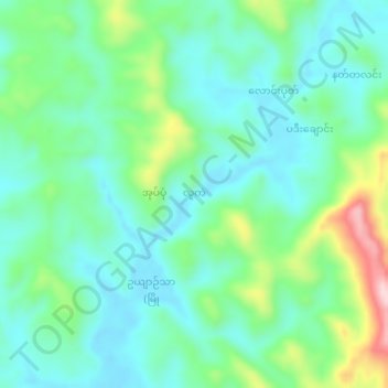
Name: လူကဲ topographic map, elevation, terrain.
Location: လူကဲ, စစ်တွေခရိုင, ရခိုင်ပြည်နယ် (Rakhine), Myanmar (20.53272 92.88083 20.57272 92.92083)
Average elevation: 72 m
Minimum elevation: 4 m
Maximum elevation: 263 m