
江の島 topographic map
Interactive map
Click on the map to display elevation.
About this map
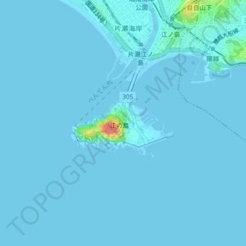
Name: 江の島 topographic map, elevation, terrain.
Location: 江の島, Fujisawa, Prefectura de Kanagawa, 関東地方, 251-0036, Japón (35.30024 139.48111 35.30034 139.48121)
Average elevation: 2 m
Minimum elevation: -6 m
Maximum elevation: 62 m