
Tiébiéssou topographic map
Interactive map
Click on the map to display elevation.
About this map
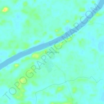
Name: Tiébiéssou topographic map, elevation, terrain.
Location: Tiébiéssou, Grands-Ponts, Lagunes, Côte d’Ivoire (5.33424 -4.91017 5.37424 -4.87017)
Average elevation: 10 m
Minimum elevation: 4 m
Maximum elevation: 29 m