
Ojós topographic map
Interactive map
Click on the map to display elevation.
About this map
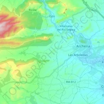
Name: Ojós topographic map, elevation, terrain.
Location: Ojós, Valle de Ricote, 30611, España (38.06007 -1.41799 38.16388 -1.32341)
Average elevation: 253 m
Minimum elevation: 83 m
Maximum elevation: 942 m
Other topographic maps
Click on a map to view its topography, its elevation and its terrain.