
Spoy topographic map
Interactive map
Click on the map to display elevation.
About this map
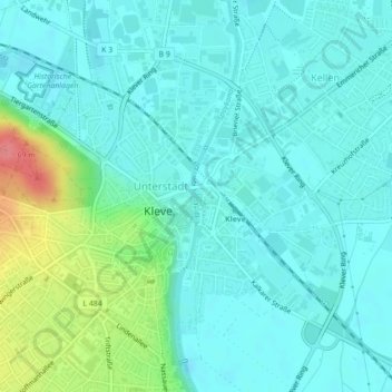
Name: Spoy topographic map, elevation, terrain.
Average elevation: 26 m
Minimum elevation: 9 m
Maximum elevation: 88 m
Other topographic maps
Click on a map to view its topography, its elevation and its terrain.
Le Rhin
Allemagne > Rhénanie-du-Nord-Westphalie > Clèves
Le Rhin, Salmorth, Clèves, Kreis Kleve, Regierungsbezirk Düsseldorf, Rhénanie-du-Nord-Westphalie, 47533, Allemagne
Average elevation: 14 m