
Fuente de Mencáfete topographic map
Interactive map
Click on the map to display elevation.
About this map
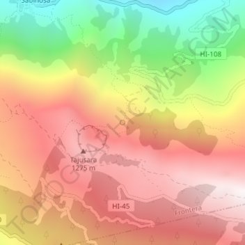
Name: Fuente de Mencáfete topographic map, elevation, terrain.
Average elevation: 904 m
Minimum elevation: 214 m
Maximum elevation: 1,406 m
Other topographic maps
Click on a map to view its topography, its elevation and its terrain.
Roques de Salmor
Roques de Salmor, Frontera, Santa Cruz de Tenerife, Canarias, 38916, España
Average elevation: 34 m