
坝上村 topographic map
Interactive map
Click on the map to display elevation.
About this map
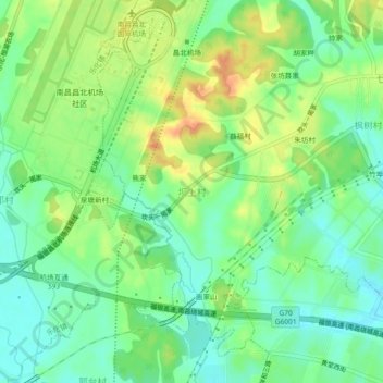
Name: 坝上村 topographic map, elevation, terrain.
Location: 坝上村, Nanchang, Jiangxi, Chine (28.82301 115.89546 28.86301 115.93546)
Average elevation: 32 m
Minimum elevation: 14 m
Maximum elevation: 58 m