
Ouahat Sidi Brahim واحة سيدي ابراهيم topographic map
Interactive map
Click on the map to display elevation.
About this map
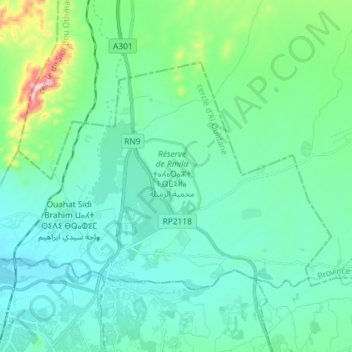
Name: Ouahat Sidi Brahim واحة سيدي ابراهيم topographic map, elevation, terrain.
Average elevation: 451 m
Minimum elevation: 389 m
Maximum elevation: 748 m