
Thank you for supporting this site ❤️
Make a donation
Make a donation
Mont Sugar Loaf topographic map
Click on the map to display elevation.
Thank you for supporting this site ❤️
Make a donation
Make a donation
About this map
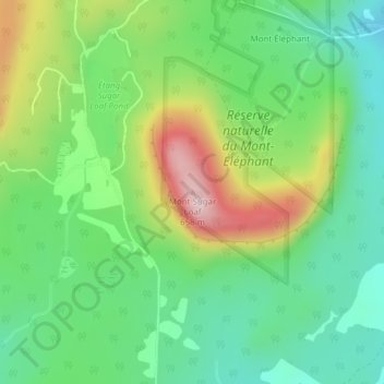
Name: Mont Sugar Loaf topographic map, elevation, terrain.
Location: Mont Sugar Loaf, Potton, Memphrémagog, Québec, Canada (45.11746 -72.32472 45.11756 -72.32462)
Average elevation: 401 m
Minimum elevation: 273 m
Maximum elevation: 637 m
Thank you for supporting this site ❤️
Make a donation
Make a donation