
Le Leignon topographic map
Interactive map
Click on the map to display elevation.
About this map
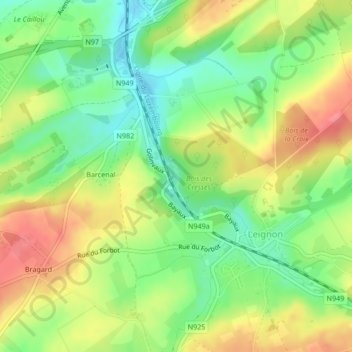
Name: Le Leignon topographic map, elevation, terrain.
Location: Le Leignon, Ciney, Namur, Wallonie, 5590, Belgique (50.27213 5.09828 50.27415 5.09989)
Average elevation: 276 m
Minimum elevation: 240 m
Maximum elevation: 316 m
Other topographic maps
Click on a map to view its topography, its elevation and its terrain.