
Lejamaní topographic map
Interactive map
Click on the map to display elevation.
About this map
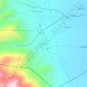
Name: Lejamaní topographic map, elevation, terrain.
Location: Lejamaní, Comayagua, Honduras (14.34748 -87.72662 14.38748 -87.68662)
Average elevation: 764 m
Minimum elevation: 611 m
Maximum elevation: 1,383 m