
Ahne topographic map
Interactive map
Click on the map to display elevation.
About this map
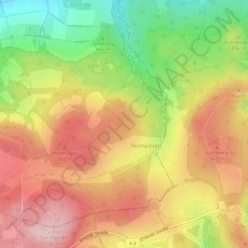
Name: Ahne topographic map, elevation, terrain.
Average elevation: 507 m
Minimum elevation: 383 m
Maximum elevation: 606 m
Other topographic maps
Click on a map to view its topography, its elevation and its terrain.
Katzenstein
Deutschland > Hessen > Habichtswald
Katzenstein, Habichtswald, Landkreis Kassel, Regierungsbezirk Kassel, Hessen, 36292, Deutschland
Average elevation: 397 m