
Chumur topographic map
Interactive map
Click on the map to display elevation.
About this map
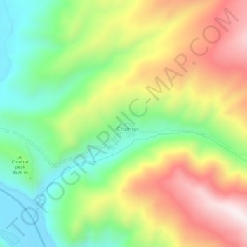
Name: Chumur topographic map, elevation, terrain.
Location: Chumur, Leh District, Jammu and Kashmir, India (32.65015 78.57461 32.69015 78.61461)
Average elevation: 4,655 m
Minimum elevation: 4,350 m
Maximum elevation: 5,048 m