
Vinnhorst topographic map
Interactive map
Click on the map to display elevation.
About this map
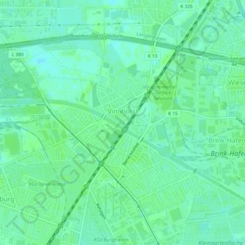
Name: Vinnhorst topographic map, elevation, terrain.
Average elevation: 54 m
Minimum elevation: 49 m
Maximum elevation: 57 m
Other topographic maps
Click on a map to view its topography, its elevation and its terrain.
Maschsee
Allemagne > Basse-Saxe > Hanovre
Maschsee, Karl-Thiele-Weg, Ville-Sud, Ville-Sud-Bult, Hanovre, Hanovre (région), Basse-Saxe, 30169, Allemagne
Average elevation: 56 m