
Thank you for supporting this site ❤️
Make a donation
Make a donation
Wana Kerta topographic map
Click on the map to display elevation.
Thank you for supporting this site ❤️
Make a donation
Make a donation
About this map
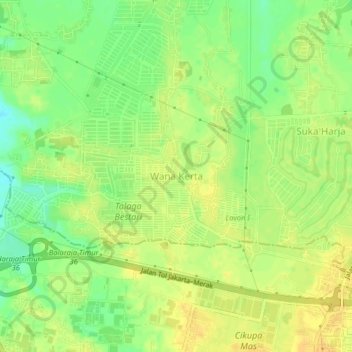
Name: Wana Kerta topographic map, elevation, terrain.
Location: Wana Kerta, Tangerang Regency, Banten, Indonesia (-6.21105 106.48327 -6.17105 106.52327)
Average elevation: 21 m
Minimum elevation: 5 m
Maximum elevation: 30 m
Thank you for supporting this site ❤️
Make a donation
Make a donation