
Bandon topographic map
Interactive map
Click on the map to display elevation.
About this map
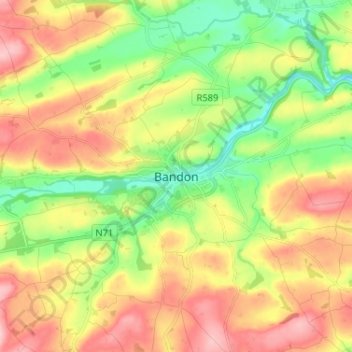
Name: Bandon topographic map, elevation, terrain.
Location: Bandon, County Cork, Munster, P72 AE35, Ireland (51.70617 -8.77693 51.78617 -8.69693)
Average elevation: 79 m
Minimum elevation: 5 m
Maximum elevation: 163 m