
Xhoris topographic map
Interactive map
Click on the map to display elevation.
About this map
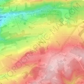
Name: Xhoris topographic map, elevation, terrain.
Location: Xhoris, Ferrières, Hoei, Luik, Wallonië, 4190, België (50.42398 5.58207 50.46398 5.62207)
Average elevation: 251 m
Minimum elevation: 114 m
Maximum elevation: 354 m