
Lochawe topographic map
Interactive map
Click on the map to display elevation.
About this map
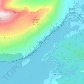
Name: Lochawe topographic map, elevation, terrain.
Location: Lochawe, Argyll and Bute, Écosse, PA33 1AH, Royaume-Uni (56.37665 -5.07236 56.41665 -5.03236)
Average elevation: 198 m
Minimum elevation: 29 m
Maximum elevation: 893 m