
Magonragh topographic map
Interactive map
Click on the map to display elevation.
About this map
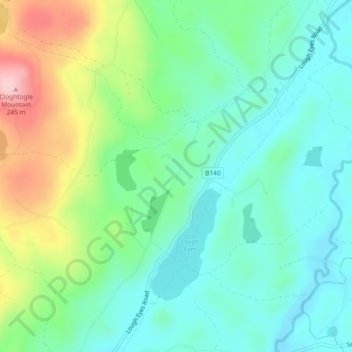
Name: Magonragh topographic map, elevation, terrain.
Average elevation: 124 m
Minimum elevation: 70 m
Maximum elevation: 250 m
Other topographic maps
Click on a map to view its topography, its elevation and its terrain.
Farnamullan
Royaume-Uni > Irlande du Nord > Lisbellaw
Farnamullan, Lisbellaw, County Fermanagh, Irlande du Nord, Royaume-Uni
Average elevation: 62 m
Tatnamallaght
Royaume-Uni > Irlande du Nord > Lisbellaw
Tatnamallaght, Lisbellaw, County Fermanagh, Irlande du Nord, Royaume-Uni
Average elevation: 72 m
Derryhowlagh East
Royaume-Uni > Irlande du Nord > Lisbellaw
Derryhowlagh East, Belle Isle ED, Lisbellaw, County Fermanagh, Irlande du Nord, Royaume-Uni
Average elevation: 51 m