
East Quincy topographic map
Interactive map
Click on the map to display elevation.
About this map
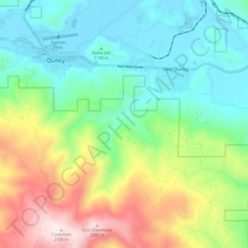
Name: East Quincy topographic map, elevation, terrain.
Location: East Quincy, Plumas County, California, United States (39.87772 -120.95454 39.95551 -120.86824)
Average elevation: 1,389 m
Minimum elevation: 1,035 m
Maximum elevation: 2,132 m