
Leynhac topographic map
Interactive map
Click on the map to display elevation.
About this map
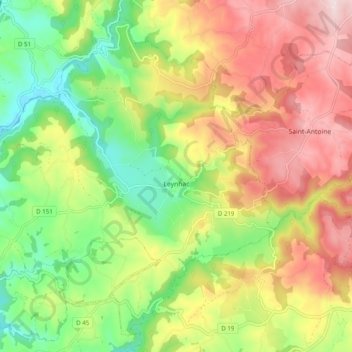
Name: Leynhac topographic map, elevation, terrain.
Average elevation: 536 m
Minimum elevation: 366 m
Maximum elevation: 731 m
Other topographic maps
Click on a map to view its topography, its elevation and its terrain.
La Moneyrie
France > Auvergne-Rhône-Alpes > Cantal > Leynhac > La Moneyrie
La Moneyrie, Leynhac, Aurillac, Cantal, Auvergne-Rhône-Alpes, France métropolitaine, 15600, France
Average elevation: 452 m