
Niederklein topographic map
Interactive map
Click on the map to display elevation.
About this map
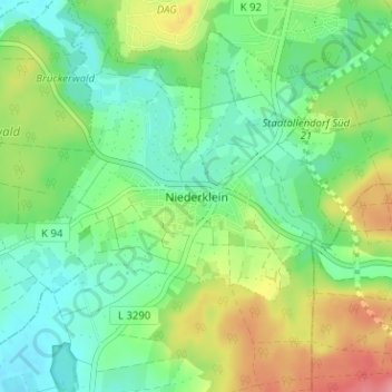
Name: Niederklein topographic map, elevation, terrain.
Location: Niederklein, Regierungsbezirk Gießen, Hessen, 35260, Deutschland (50.77408 8.97663 50.81408 9.01663)
Average elevation: 228 m
Minimum elevation: 196 m
Maximum elevation: 289 m