
Echt-Susteren topographic map
Interactive map
Click on the map to display elevation.
About this map
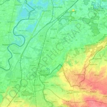
Name: Echt-Susteren topographic map, elevation, terrain.
Location: Echt-Susteren, Limburg, Niederlande (51.02834 5.79511 51.13596 6.03649)
Average elevation: 38 m
Minimum elevation: 16 m
Maximum elevation: 82 m