
Le Pachy topographic map
Interactive map
Click on the map to display elevation.
About this map
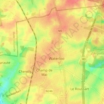
Name: Le Pachy topographic map, elevation, terrain.
Average elevation: 115 m
Minimum elevation: 78 m
Maximum elevation: 138 m
Other topographic maps
Click on a map to view its topography, its elevation and its terrain.
Mont-Saint-Jean
Belgique > Brabant wallon > Nivelles > Waterloo
Mont-Saint-Jean, Waterloo, Nivelles, Brabant wallon, Wallonie, 1420, Belgique
Average elevation: 115 m