
Thank you for supporting this site ❤️
Make a donation
Make a donation
Heth topographic map
Click on the map to display elevation.
Thank you for supporting this site ❤️
Make a donation
Make a donation
About this map
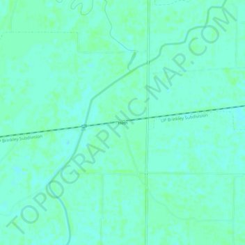
Name: Heth topographic map, elevation, terrain.
Location: Heth, St. Francis County, Arkansas, 72346, United States (35.05759 -90.51510 35.09759 -90.47510)
Average elevation: 61 m
Minimum elevation: 57 m
Maximum elevation: 63 m
Thank you for supporting this site ❤️
Make a donation
Make a donation
Other topographic maps
Click on a map to view its topography, its elevation and its terrain.
Forest Lake Number 3 Dam
United States > Arkansas > St. Francis County > Forrest City
Average elevation: 93 m
Thank you for supporting this site ❤️
Make a donation
Make a donation